
Hurrah!
I just got a call, the gals finished the PCT tonight.
My daughter writes on facebook:

 The gals have crossed the mighty Columbia River and thus stepped over the Oregon-Washington stateline. They're down to their last state on the 2600+mile through-hike.
 The PCT hikers are now in Chester, Northern California. The longest state is soon through-hiked (that's PCT-talk), and there's only 2 more to go: OR and WA... The goal is to get to Canada before snowfall (but then again, their team name is "Djibouti or Bust")...
Crunched foot joint has taken me off the trail for a few miles and a few days. I want to be sad that I won't be "true to the through" but I'd rather sacrifice these 50 miles and my hike's purity than my chances of finishing the next 1600 miles of the hike. I simply redefine 'success' for this endeavor from "Hiking the PCT" to "Hiking a vast majority of the PCT without doing anything too stupid."

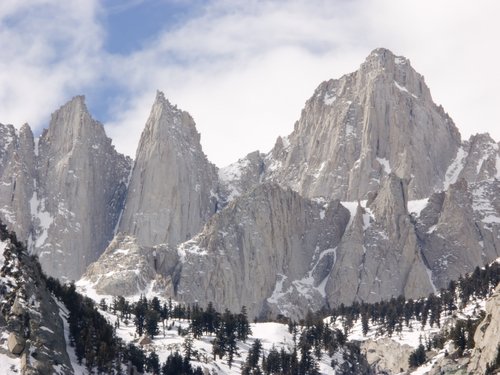
 My daughter and her friends (the 3 musketeers), a.k.a. " Djibouti or Bust" have crossed the last section of the Mojave Desert after their rest in Agua Dulce. They've resupplied in Tehachapi, and are currently ascending Walker Pass... soon to arrive at Kennedy Meadows (Mile 703).
 e SPOT is a Satellite GPS Personal Tracking device, and lets loved one such as WORRIED MOMS, check on the progress of somebody hiking in a remote wilderness. The Prof (my husband) is starting to grumble when I keep on checking the computer late at night and first thing in the morning, and worriedly report that the SPOT hasn't been activated in over 24 hours. "Just think, in the old days, you wouldn't have heard from them for 5 days at a time, and been just fine with a weekly phone call!" EOD
 en by a fellow hiker....
On 05/04/10 PCTA received trail condition report from thru hikers; it took 9 hrs to travel about 12 miles. Fuller Ridge is still dangerous and under ice/snow with lots of exposure. They had a good topographic map and compass and had to do quite a bit of route finding and still ended up off track a few times but made it to Black Mt. Rd. late last night. PCTA is currently recommending: Hikers hitch from Idyllwild, CA on Hwy 243 North, to Black Mt. Rd. (8miles) Then, hike the 8 miles from the Black Mt. Rd./243 Junction, up to Fuller Ridge Trailhead in order to miss the dangerous section that the two hikers mentioned. (16 mile total detour ) (Black Mt. Rd. is currently closed and gated at hwy 243, but open to foot traffic). Fobes Saddle to Saddle Jct. is still under snow. Dangerous conditions exist around Apache Peak. We recommend that hikers that are not comfortable with snow travel or equipped with light mountaineering gear get off at Fobes Saddle and hitch to Black Mt. Rd. in order to bypass the dangerous conditions which exist in the San Jacinto Mts. (If traveling through the San Jacinto Mts., light mountaineering gear, a good map, compass, or G.P.S. is recommended.) For more information contact PCTA’s Idyllwild office at 951-257-4100Now I understand -- they probably hitch-hiking to get around that stretch, perhaps even by way of Palm Springs with a visit to a spa...?!?
 g the entire trail from end to end (CA-Mexico border to Canada, 2650 miles)
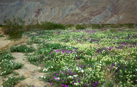


 My daughter, Eldest, is embarking tomorrow on an amazing feat: backpacking 2,650 miles (4,260 km) on the Pacific Crest Trail. It starts at Campo, CA at the border to Mexico, and ends in Manning Park, BC, Canada.